Monsoon Picks Up Speed: Heavy Rain Batters Western and Coastal India
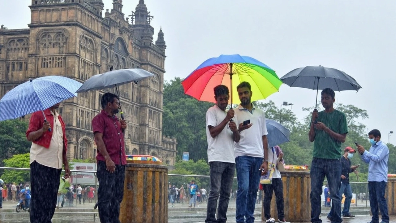
If you’re living in the Konkan region or Goa, brace yourself. The heavy rain warnings just got real, with the India Meteorological Department (IMD) cautioning that parts of this lush coastline will be drenched with more than 20 centimeters of rain in just one day through June 16. That’s not just a bad hair day—that’s streets flooding, creeks swelling, and sometimes local train services going haywire.
The weather department isn't stopping at warnings. For Raigad and Ratnagiri districts in Maharashtra, they've switched on the red alert—IMD’s way of saying: stay home, stay safe, and probably keep an umbrella or two handy. This surge comes as the southwest monsoon, the lifeline for Indian agriculture and drinking water, barrels rapidly across the subcontinent, moving a bit ahead of its usual pace.
Across in Odisha, folks in Balasore, Khurda, and Dhenkanal have already seen heavy showers, with forecasts hinting there’s more where that came from. The monsoon is quickly spreading its wings and, if you don’t mind soggy shoes, will blanket most of India by June 17.
Low-Pressure Systems Amp Up the Wet Spell
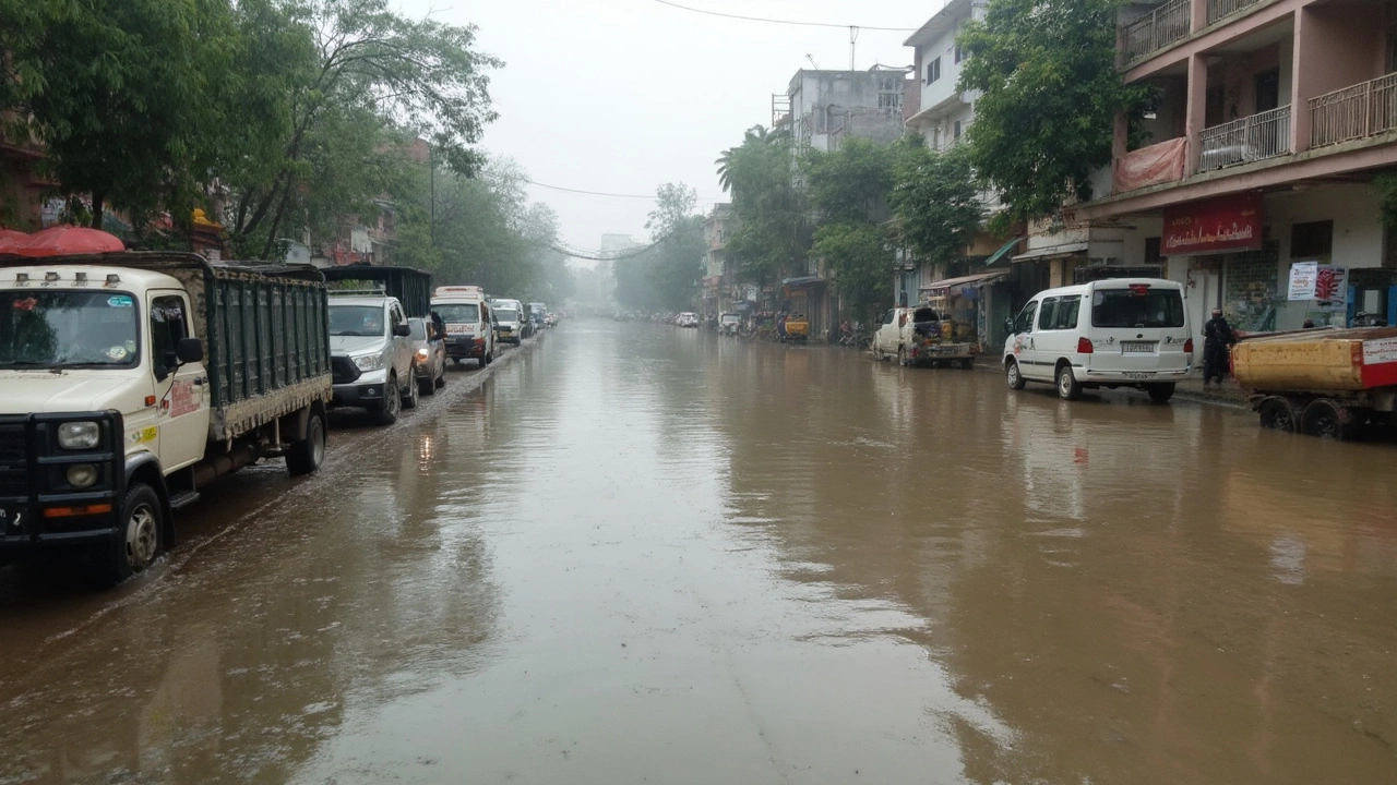
Here’s what’s driving all this: Two low-pressure systems, one hovering over West Bengal and the other near Gujarat, are working in tandem to supercharge the rain clouds. These weather troublemakers mean places like Gujarat, Marathwada, Saurashtra, and Kutch can expect near-constant, heavy to even very heavy rain through June 19. And no, this isn’t the regular pre-monsoon grumble: officials are bracing for flooding in several urban centers.
For the extended list of soon-to-be-wet states—think Madhya Pradesh, Vidarbha, Chhattisgarh, the Andaman & Nicobar Islands, West Bengal, Sikkim, Bihar, Jharkhand, and Odisha—the IMD expects at least light to moderate rainfall each day up to June 17. For farmers and anyone with outdoor plans, that means carving out some time to keep crops and property safe from the downpour.
- Konkan & Goa: Over 20 cm rain in 24 hours
- Maharashtra’s Raigad and Ratnagiri: Red alert for extreme rainfall
- Gujarat, Marathwada, Saurashtra, Kutch: Heavy to very heavy showers likely through June 19
- Central and East India: Steady rain, some areas could see storms
And the north isn’t being left out. By June 22, Delhi, Haryana, and Punjab should expect the monsoon's first proper splash, a relief for those baking in the summer heat but also a reason to get those storm drains ready.
But that’s not all. As rain falls, so do the risks: the IMD highlights that thundersqualls (intense, gusty windstorms with thunder and lightning) could hit West Madhya Pradesh, Vidarbha, Chhattisgarh, and Bihar until June 15. These aren’t your garden-variety showers—power lines can go out, trees get uprooted, and roads can turn treacherous in minutes. So if the weather folks say to lay low, it’s a good time to listen.
Stay dry, prepare for transport hiccups, and stock up on the chai. Monsoon 2024’s big act is just getting started, and by the looks of those clouds, the drama’s not letting up anytime soon.